Boston Neck 2017
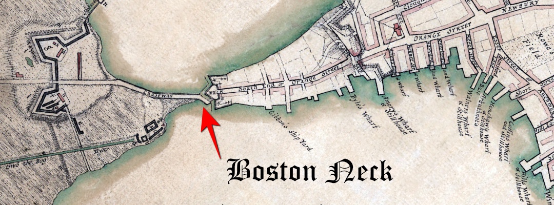
The Boston Neck was a small strip of land connecting the mainland to the then-peninsular city of Boston. Over the years the area was filled in as the City of Boston popular grew.
The Boston Neck was an important part of the American Revolution as the British closed the access way into the City of Boston. This was part of the British Seize of Boston April 19, 1775 - March 17, 1776.

William Dawes Journey
On the night of April 18, 1775, William Dawes snuck pass the checkpoint and rode south to warn the British were coming. Paul Revere avoids the checkpoint by crossing the Charles River by rowboat. Both patriots would meet up in Lexington and continued their journey to Concord.
The Gallows
Nearby the Boston Neck is where criminals, religious rebels, and other Colonial-era offenders were publicly hanged. Many published reports that hangings were done at the Boston Commons. This is probably because the area where the hanging was done was called the "Commons Land."
The bodies were then dumped or buried nearby, reportedly leaving unhappy ghosts to haunt the surrounding neighborhood.
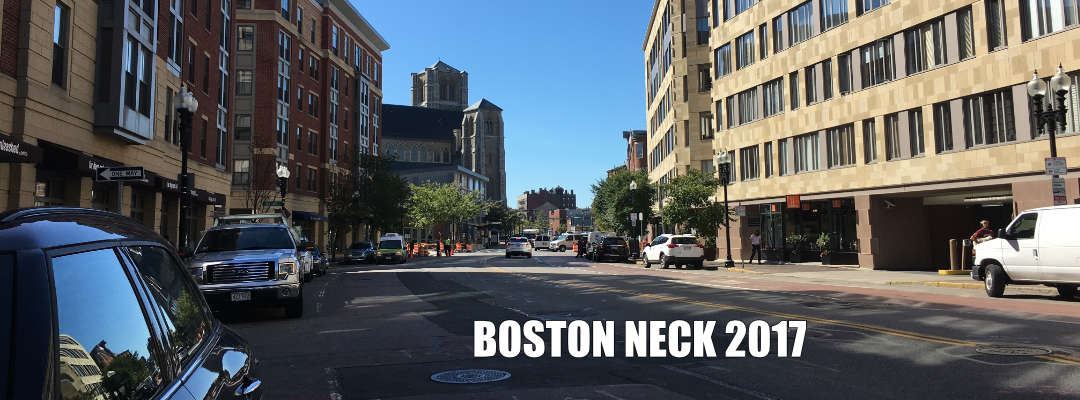
Boston Neck in 2017
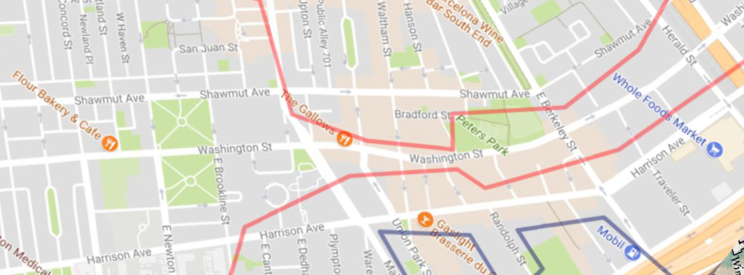
There are no markers to indicate where the Boston Neck was. Historians that are looking for the exact location will find this overlay map very handy:

The neck was located between Peter's Park and the Cathedral of the Holy Cross.
The only thing that shows the history of the area is at the Union Park Street (Silver Line MBTA station). There's a couple of permanent wall posters of this history of the area.

There is a small park nearby, Peter's Park, where a statue or monument could be placed on the history of the location. Perhaps something to mark William Dawes contribution to the American Revolution.
What do you think? Should the city of Boston put a historical monument about the Boston Neck?
