
USGS Magnitude 2.5+ Earthquake
Tracking Earthquakes from around the World
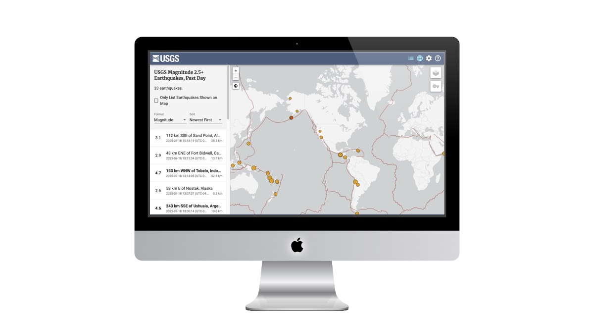
Want to stay informed about the latest seismic activity around the globe? The USGS Earthquake Map is your go-to resource for tracking recent earthquakes.
This interactive map provides a comprehensive overview of earthquakes, primarily focusing on events with a magnitude of 2.5 or greater that have occurred within the last 24 hours. For a broader perspective, it also includes most worldwide events with a magnitude of 4.5 and above.
Key Features of the Map:
- Customizable Views: Tailor your experience by filtering earthquakes by magnitude and timeframes, such as "1 Day, Magnitude 2.5+ U.S.," "7 Days, Magnitude 4.5+ U.S.," or "30 Days, Significant Worldwide."
- Personalized Display: Adjust your preferred time zone (e.g., UTC-07:00, UTC) and unit of distance (Kilometers, Miles) to see event dates, times, depth, and distance displayed exactly how you want.
- Sorting and Filtering: Easily sort earthquakes by "Newest First" and choose to "Only List Earthquakes Shown on Map" for a focused view.
- Stay Notified: The map offers desktop notifications for earthquake alerts, which can be enabled in your browser to keep you instantly updated.
- Share and Install: Bookmark your customized settings, share them with others, or even install the application on your mobile or desktop device for quick access.
- Accessibility: For users without Javascript, the USGS provides ATOM feeds to ensure everyone can access earthquake information.
Whether you're a science enthusiast, a researcher, or simply curious about our planet's dynamic nature, the USGS Earthquake Map provides an invaluable tool for understanding seismic activity. Dive in and explore the tremors beneath our feet!
Website Description
The USGS Earthquake Map (https://earthquake.usgs.gov/earthquakes/map/) is an interactive platform provided by the United States Geological Survey (USGS) that displays real-time global earthquake data. It features a dynamic map showing recent earthquakes with details like magnitude, location, and time. Users can filter events by time range, magnitude, and depth, and access additional resources such as earthquake lists, hazard information, and scientific data for research and public awareness.
 https://earthquake.usgs.gov/earthquakes/map/