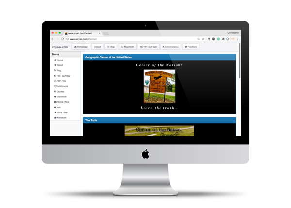
Geographic Center of the Nation
In 1996, I drove across the country from Concord, Massachusetts to San Jose, California. I accepted a new job and needed to relocate. So I packed the car and headed west.
Before heading on my journey, I did some research about unique places to visit. Driving across the country isn't something that people do all the time, and I figured that I should educate places on my journey.
In my research, I discovered that I was going to be within a few miles of the Geographic Center of the United States of America. I thought it would be neat to discover that place and added it to my list of places to go and see.
Logging My Journey
It turns out that where I thought the Geographic Center of the Nation was located was abandoned. It wasn't anywhere near the experience
In October 1996, I put together a website of my journey. The page was never completed, and I took down the link many years ago. I recently found the pages on some CDs and thought it would be neat to put the site up again.
I fixed up some of the HTML and combine the pages into a single page. I think I had multiple pages back in 1996 because of bandwidth issues of loading a lot of graphics. FYI: The pages were done using Adobe PageMill 2.0 on my Quadra 66AV.
Silly Graphics I created to navigate users through my journey.
Where is the Geographic Center of the United States?
The location that I found might not have been the real Geographic Center of the United States that I thought it was. Turns out that there is an American flag someplace along Old Highway 85.
From a description by wharfrat3 on Road Trippers.com:
We didn't go here, instead, we went to the real center of the country. Go north out of Belle Fourche about 15 miles on US 85. Turn left onto Old Hwy 85 and go about 7.5-8 miles.
On the right, in a file, you'll see an American flag. And 2 USGS markers, one from 1959, the other from 1962, marking the spot. If you're traveling on US 85, it's a nice detour.

